
Saturday Walk: Blencathra
(log in to member's area for restricted information such as mobile numbers)
The walk starts at the village of Mungrisdale (postcode CA11 0XR). Mungrisdale is a small village with limited parking. There is some parking on the left hand side of the road as you approach the village and there is a car park in front of the village hall. For more detail, check out Google Earth. Meet at 8.30am outside the village hall
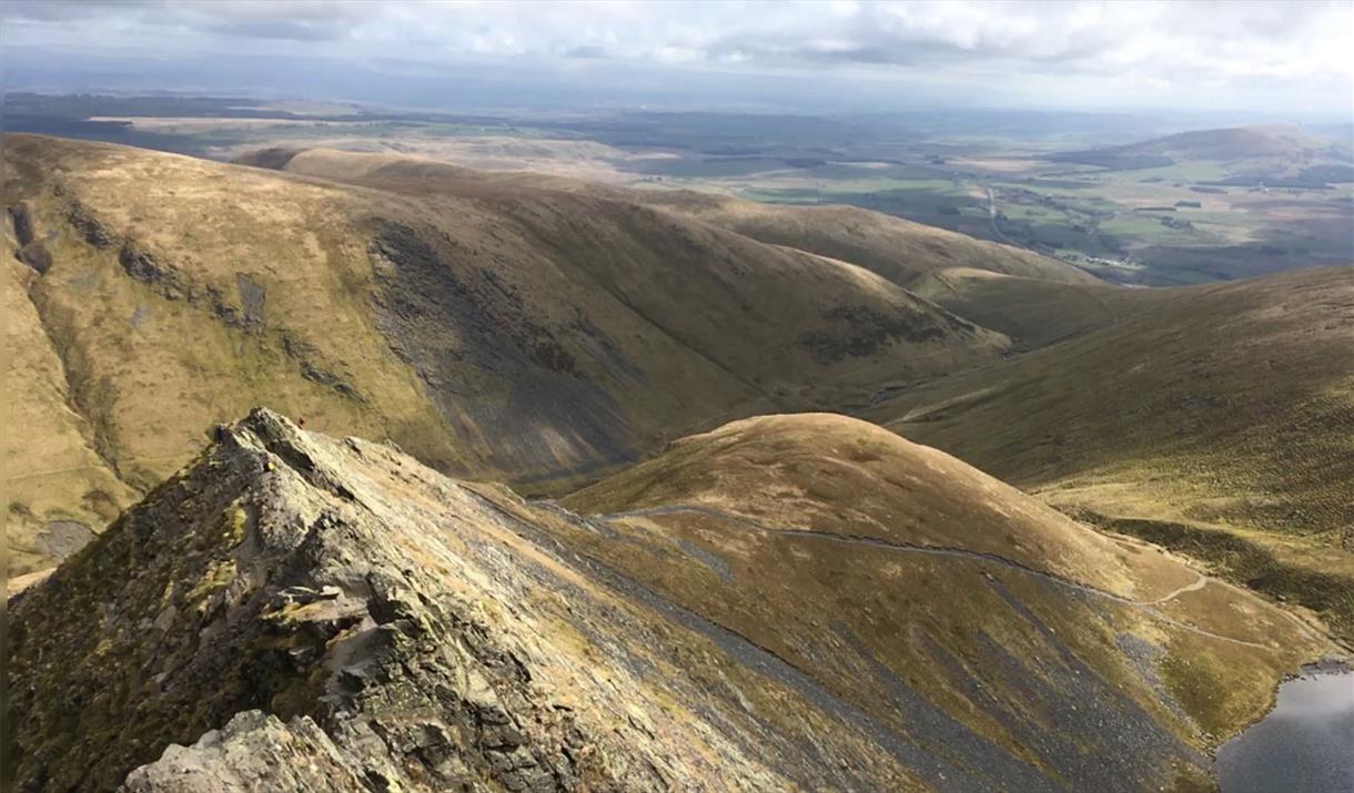
From Mungrisdale we climb up Souther Fell for a fine ridge walk across to Scales Fell before ascending Blencathra to reach Hallsfell Top (868m). Descending into the River Caldew valley to the North via Mungrisdale Common, we then ascend Carrock Fell (649). From there we descend to the north to meet the road for a short walk back to Mungrisdale.
If the weather is clear we should be afforded some fine views from Bencathra and Carrock Fell.
In total the route is around 14/15 miles